
Greenwood Drive LOMR
View Plans
Revise flood maps to remove apartment complex from the flood plain. Relieves the owner of law requirement to have flood insurance policy. Involved working with FEMA
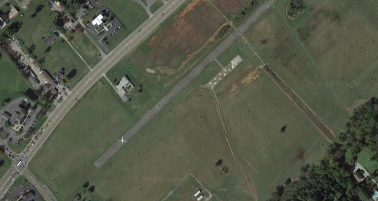
Beaver Creek Floodway Revision (LOMR)
Beaver Creek is located in Knox County, Tennessee and has a total length of over 44 miles and has a drainage area of over 90 square miles. The area of the Land Development Solutions Study was located between miles 29 and 30, which is adjacent to Interstate 75. The project required coordination with the City of Knoxville (project location), Knox County (upstream and downstream properties), TDOT and FEMA. The project consisted of revising an existing floodway, relocating it approximately 285 feet closer to the creek allowing the client to remove 8.5 acres from the floodway. The existing model was in the HEC-RAS format. Client – Willbanks Development/Phillips & Jordan

East Fork Poplar Creek – No Rise Certificate
The project consisted of construction of a new hotel in the flood zone and elevating the parking by adding fill in the floodway. In order to allow fill to be place in the floodway a No-Rise Certificate had to be completed. The No-Rise Certificate required surveying for additional cross-sections and input of that data into the existing HEC-2 model. After the initial run of the model, it was apparent that modifications to the overbank would be required to acheive no-rise in the Base Flood Elevations (BFE’s). A new overflow channel was designed in the overbank of the creek to allow construction of the new parking lot in the floodway. The project required coordination with the City of Oak Ridge and FEMA. Client – Best & Associates/Holiday Inn
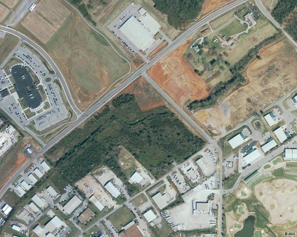
Turkey Creek – LOMR
The project consisted of removal of existing structures from the Flood Zone. The structures were elevated with fill about the Base Flood Elevation (BFE). The client needed to revise the FIRM to remove the structures from the flood zone and alleviate the requirement of Flood Insurance. The project was successful in removing two structures from the flood zone. Client- Coile Properties
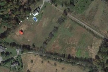
Boyd’s Creek LOMA
Boyd’s Creek is located in Sevier County, Tennessee and has not been studied to establish Base Flood Elevations (BFE’s). The property was shown in Zone A on the current FIRM. Land Development Solutions was hired to perform a HEC-RAS study to establish BFE’s and determine if the exiting residence was above the 100 year BFE. As part of the project the base flow and the 100 year storm, even flow had to be developed utilizing methods accepted by FEMA. The study was accepted by FEMA and the LOMA issued removed the residence from the flood zone. Client – Albert Rand
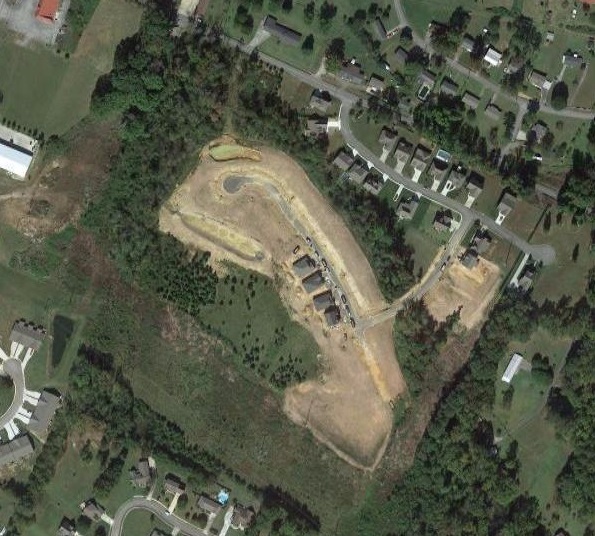
Timber Creek Flood Study
Timber Creek is located in Cleveland, Tennessee and is actually an unnamed tributary to Little Chatata Creek. The City of Cleveland requires a flood analysis for all projects construcvted adjacent to any creek that has over 200 acres of upstream drainage area. The drainage area at the project location was 820 acres and thus triggered the requirement of the flood analysis. The analysis included establishing flood flows for the 2 year through 500 year storm events, establishing Base Flood Elevations for the 100 year storm event and establishing the floodway for the section of the creek adjacent to the proposed project. The model was prepared utilizing HEC-RAS. The study was accepted by the City of Cleveland and the project was approved. Client – JRT Communities
German Creek eLOMA
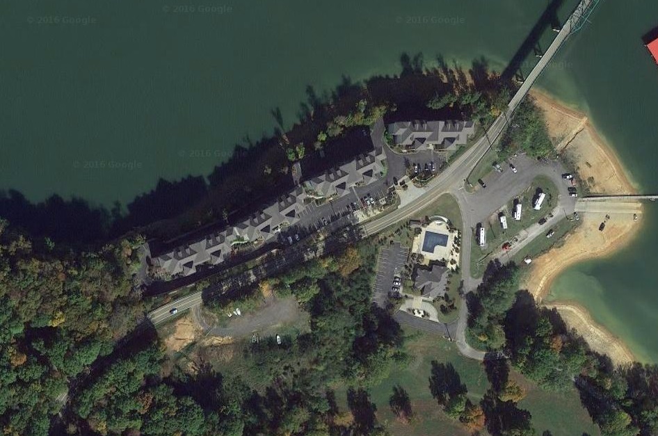
German Creek is part of Cherokee Lake in Grainger County, Tennessee. The eLOMA is an internet based service to allow a quick turnaround for LOMA requests. The German Creek project consisted of removing the entire property from the flood zone. The property was bound by Cherokee Lake and the lakeside property line was defined by the flowage easement line which was above the 100 year BFE. The eLOMA was processed and approved within a two-week period allowing the developer to obtain the necessary financing to construct the project in a timely manner. Client – Diona Welchel Commercial Group
HEC-2 Flood Study of Piney Creek
View Plans
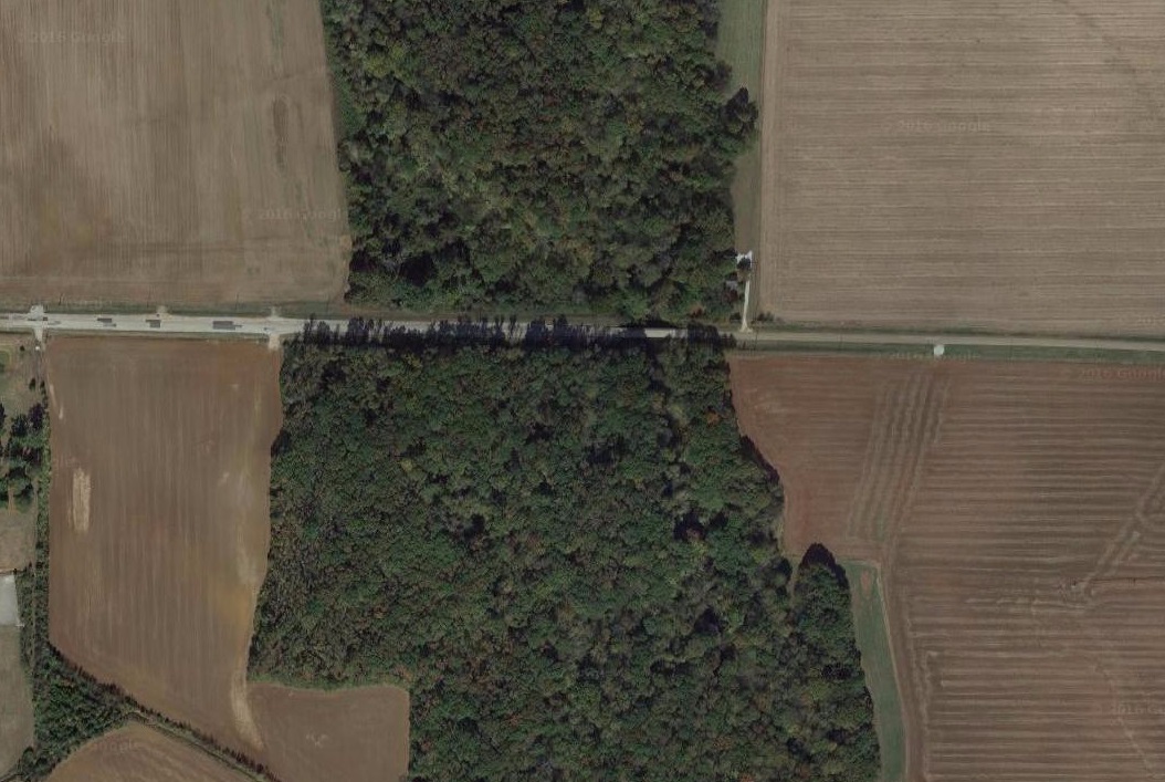
Completed a Flood Analysis of a previously unstudied section of Piney Creek in Limestone County, Alabama. The purpose of the HEC-2 Flood Study was to evaluate the effects of proposed roadway improvements to Bibb Garrett Road. The roadway improvements include raising the road elevation so that it meets the Limestone County design standard of no more than one foot of water overtopping the road during a 25-year storm. The project involved working with TVA to establish Base Flood Elevation and Floodway based upon the roadway modifications. The study can be sent to FEMA for adoption as the regulated flood for the National Flood Insurance Program. Client – Hollingsworth Company

